Komati River from the R38
Afrikaans name: Komati Rivier van die R38

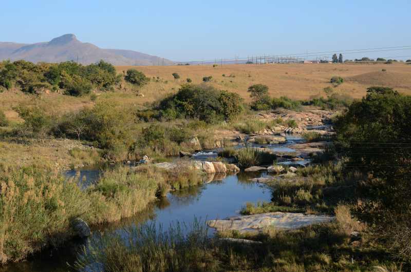
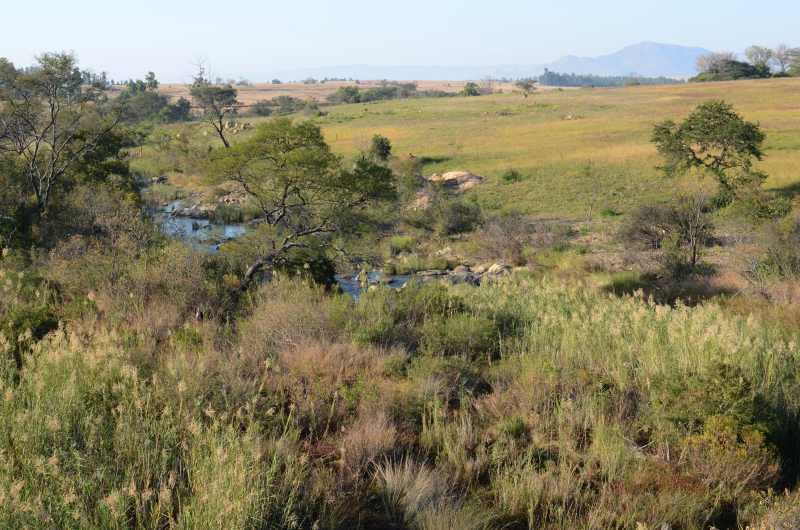
Komati River looking upstream from R38
Photo © Steven Herbert
Pictured on this page is the Komati River where it crosses the R38 a bit east of Badplaas. This is just below the dam wall of Vygeboom Dam. The Vygeboom Dam has a capacity of around 78 million cubic metres and is a popular destination on weekends. There is quite a lot of accommodation around the dam. One can even stay on a houseboat on the dam.
The Komati River merges with the Crocodile River near Komatipoort before plummeting down a 180-metre-high gorge to the coastal lowlands of Mozambique.
The Komati River has a length of around 800 km. It is a perennial river that runs from between Hendrina and Carolina, flowing east till it eventually meets the Indian Ocean at Maputo Bay.
Another name for the Komati is the Incomati River. This name is derived from the siSwati word for cow. The significance is that cows give milk all year round and this river provides water all year round.

Photo © Steven Herbert
References and further reading
Wikipedia - Komati RiverThis website features affiliate links, meaning we’ll earn a small commission if you purchase through these links.
Copyright Steven Herbert Projects, 2013 - 2025. All rights reserved.
