 Explore the Heart of South Africa: Nature, Culture, Adventure
Bethlehem
Afrikaans name: Bethlehem
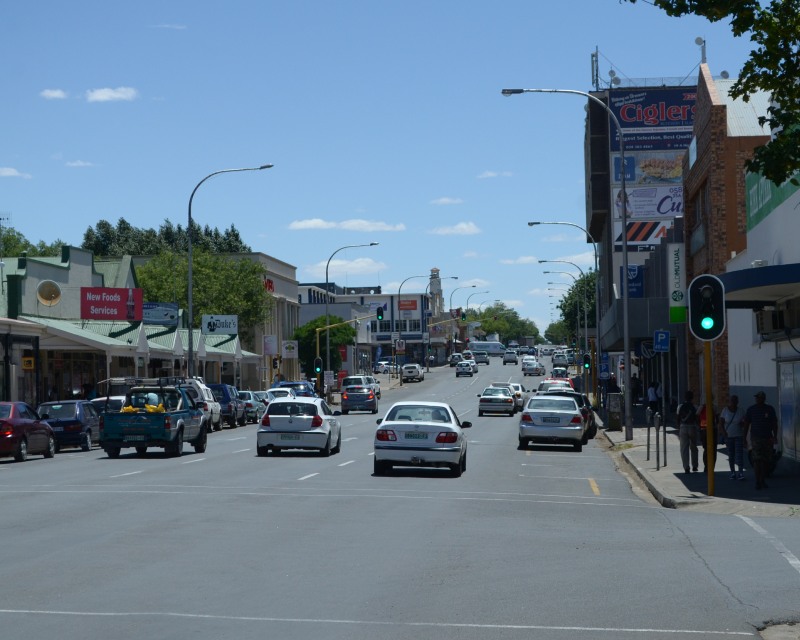
Bethlehem CBD
Photo © Steven Herbert
Free State
The town of Bethlehem is situated in the eastern region of the Free State, around 240 km north-east of Bloemfontein and 90 km west of Harrismith.
Bethlehem was founded in the 1860's but there is some debate over the actual year.
The town lies in the middle of wheat growing country. The fertile soil is also used for growing sunflowers. Summers are fairly mild but winters can be very cold, which a chance of snow.
Bethlehem has a number of sandstone buildings such as the NG Church in the middle of town. Other buildings of interest include the Old Magistrates Court, Town Hall, AB Baartman Wagon House and 14 President Burgers Street. There are not too many tourist attractions in the town but it can be used as a base to visit other places of interest such as Clarens.
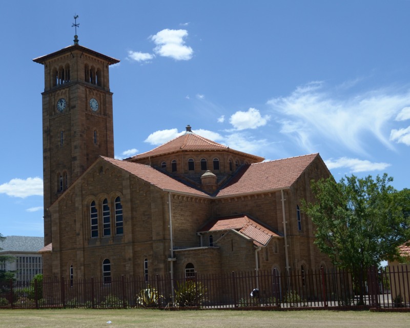
Above - Bethlehem NG Church
Photo © Steven Herbert
References and further reading
Things ewe never kn ewe about South African place names - Author: Ann Gadd - Published: 2015 - Page: 25The Pictorial Motoring Atlas of South Africa - Author: Maxwell Leigh - Published: 1987 - Page: 107
Southern Africa from the Highway - Author: AA RSA - Published: 1991 - Page: 145
Reader s Digest Illustrated Guide to Southern Africa - 4th edition - Author: - Published: 1986 - Page: 299
On Route - Explore South Africa region by region - 3rd edition - Author: B.P.J. Erasmus - Published: 2014 - Page: 356
On Route - A region by region guide to South Africa - Author: B.P.J. Erasmus - Published: 1995 - Page: 242
Conolly s Guide to Southern Africa - 2nd edition - Author: Denis Conolly - Published: 1982 - Page: 335
Book of the Road - 4th edition - Author: MapStudio - Published: 2019 - Page: 109
Britannica - Bethlehem
This website features affiliate links, meaning we’ll earn a small commission if you purchase through these links.
Copyright Steven Herbert Projects, 2013 - 2025. All rights reserved.