 Explore the Heart of South Africa: Nature, Culture, Adventure
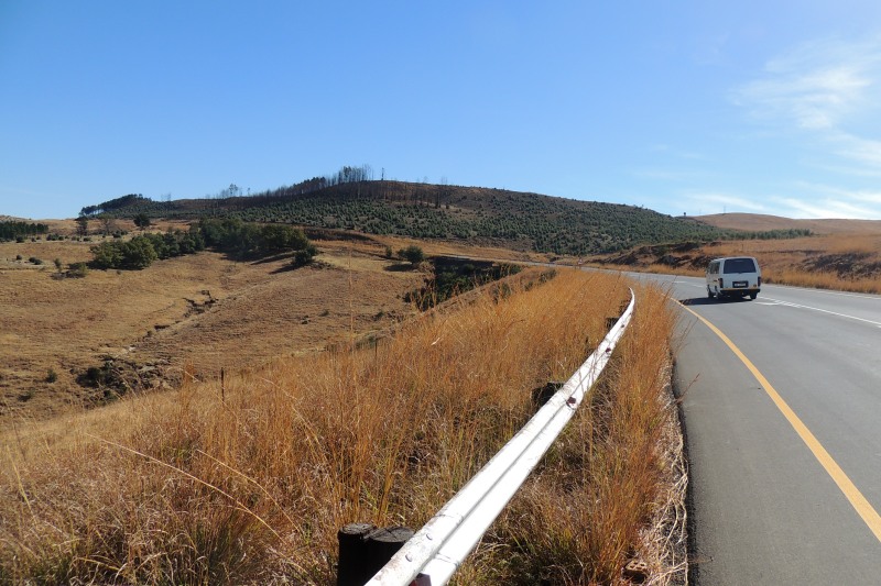
Bothas Pass
Afrikaans name: Bothaspas
Bothas Pass
Photo © Steven Herbert
Botha's Pass is on the R34 between Newcastle and Memel. The pass takes you from a height of 1569 m to 1805 m at the top. It is about 5 km in length.
The pass is in the KwaZulu-Natal province but the border with the Free State is at the top of the pass.
Although Botha's Pass is not one of the most spectacular, or challenging, passes in South Africa it does offer good views over the farmlands below.
There are a handful of shops at the bottom of the pass.
Bothas Pass saw some action in the Anglo-Boer war. It was a key route for the Birtish forces to get access into the Free State, but the Boer commandos had kept it under their control for some time. The British, under General Buller, eventually managed to capture it on the 8th June 1900.
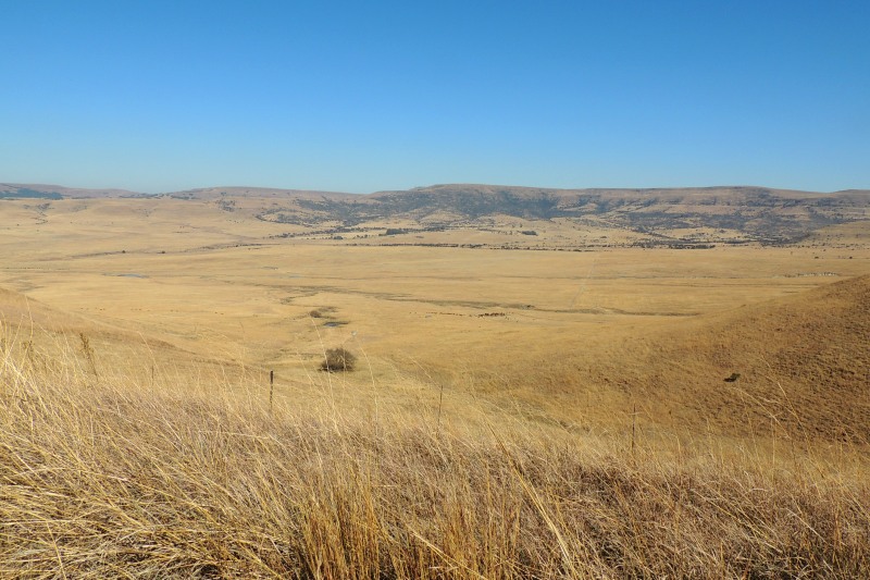
Looking down from Bothas Pass onto extensive grasslands
Photo © Steven Herbert
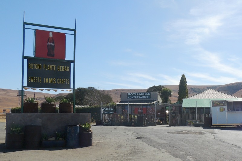
There is a handful of shops at the bottom of the pass
Photo © Steven Herbert
References and further reading
This website features affiliate links, meaning we’ll earn a small commission if you purchase through these links.
Copyright Steven Herbert Projects, 2013 - 2025. All rights reserved.